🔷Point Cloud Project to Plane
Function Description
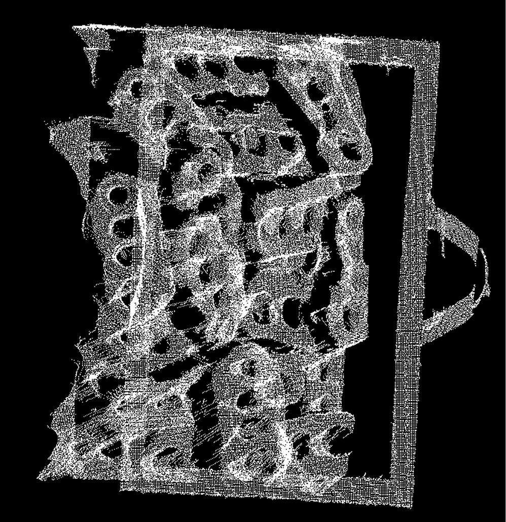
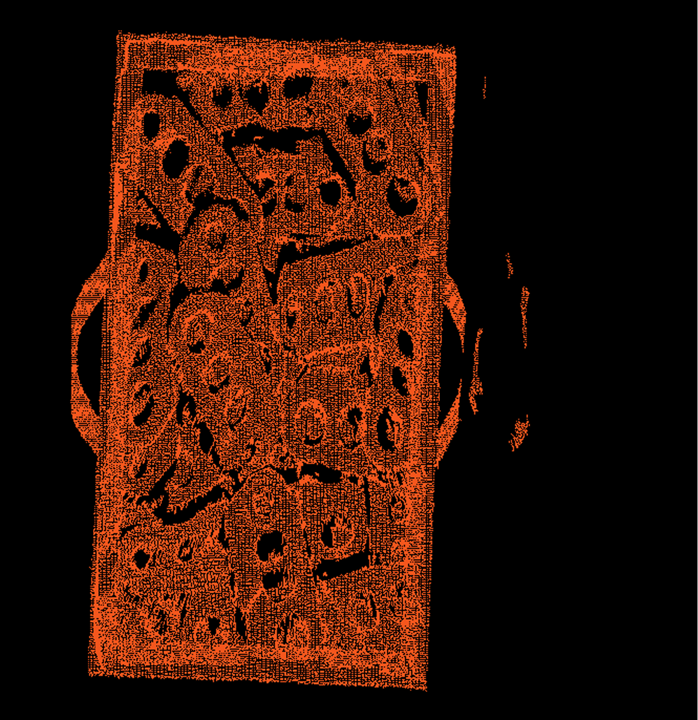
This operator is used to project each point in the input point cloud data onto one or more user-defined geometric planes. The target projection planes can be specified by providing plane equations or plane normal vectors.
Usage Scenarios
-
Data analysis: Projecting three-dimensional point clouds onto two-dimensional planes can simplify analysis, such as observing point distribution on specific cross-sections or preparing for subsequent two-dimensional image processing algorithms.
-
Feature extraction: Before performing shape recognition or feature description, projecting point clouds onto specific planes may help highlight certain geometric features.
-
Positioning and alignment: By projecting point clouds onto known planes (such as ground, tabletop), it can assist in determining object positions or performing pose alignment.
Input Output
Input |
Point cloud: Input point cloud or point cloud list. Projection axis: A list containing projection axis/plane information corresponding one-to-one with the input point cloud list. |
|
Output |
Projected point cloud: Point cloud list remaining after projection filtering. |
|
Parameter Description
|
This operator has two versions:
Both have identical core functionality, differing only in the type of point cloud data they process. The output convex hull point cloud will retain the input point cloud type. |
|
The input point cloud list and projection axis list must correspond one-to-one. |